Overview
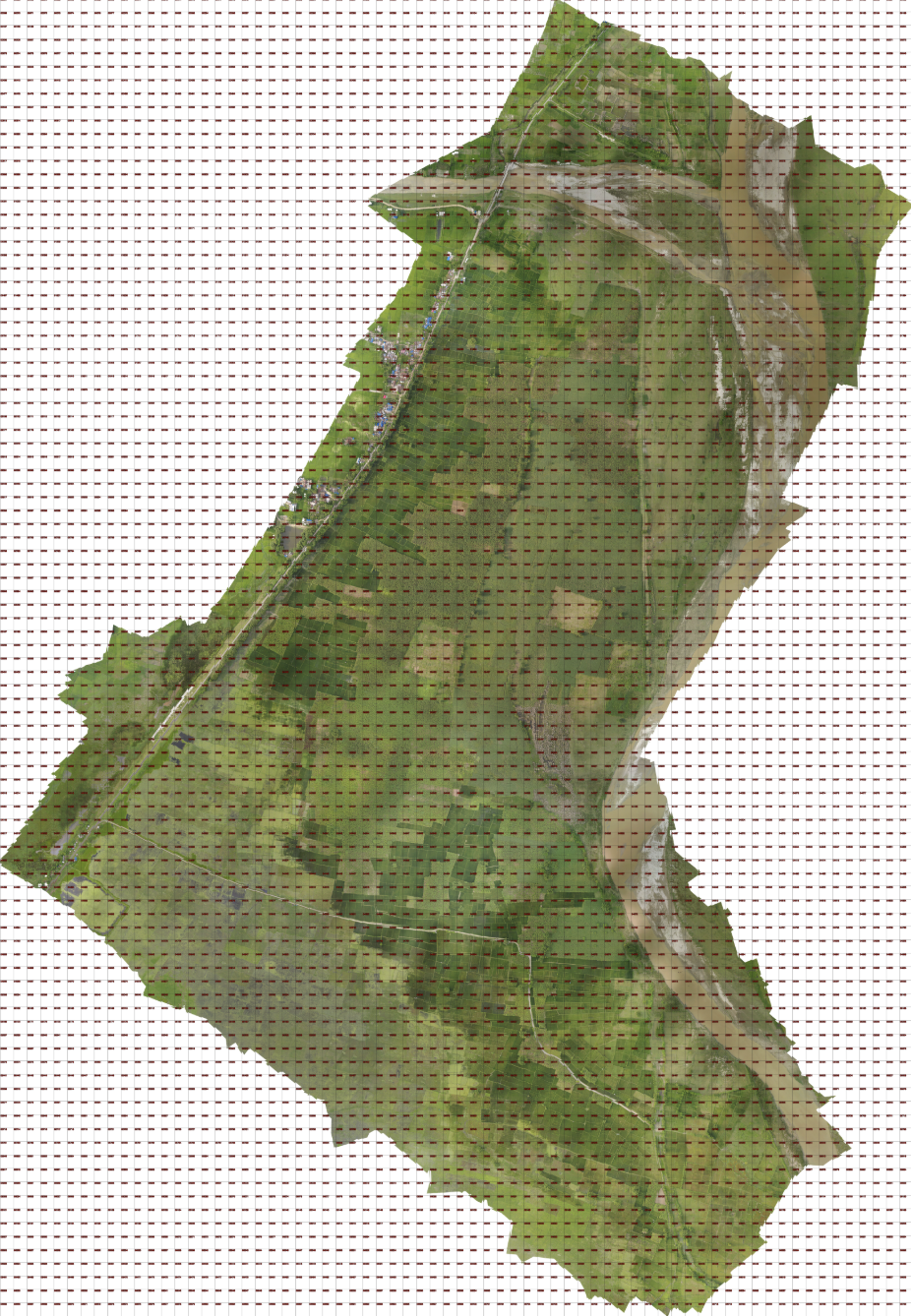
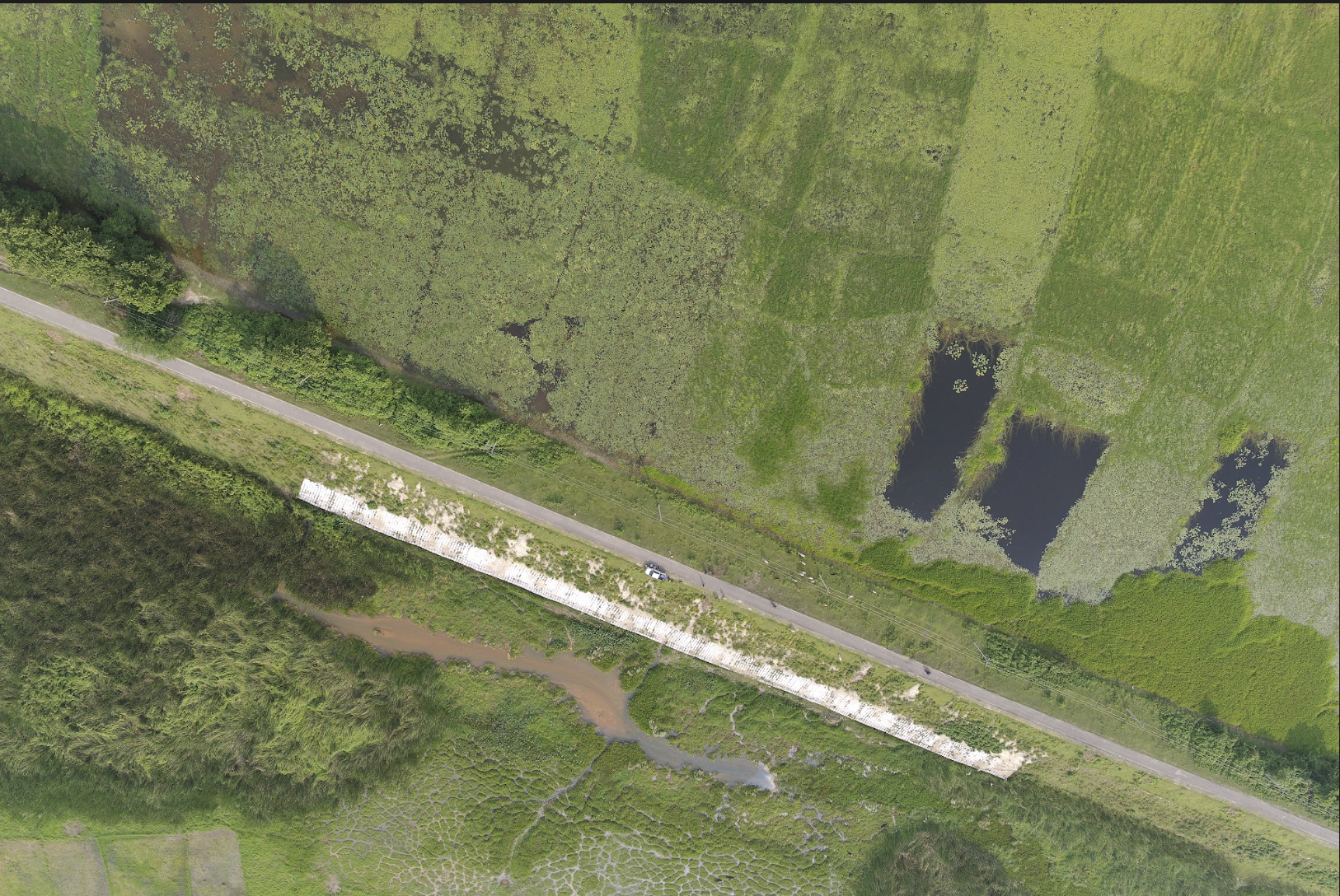
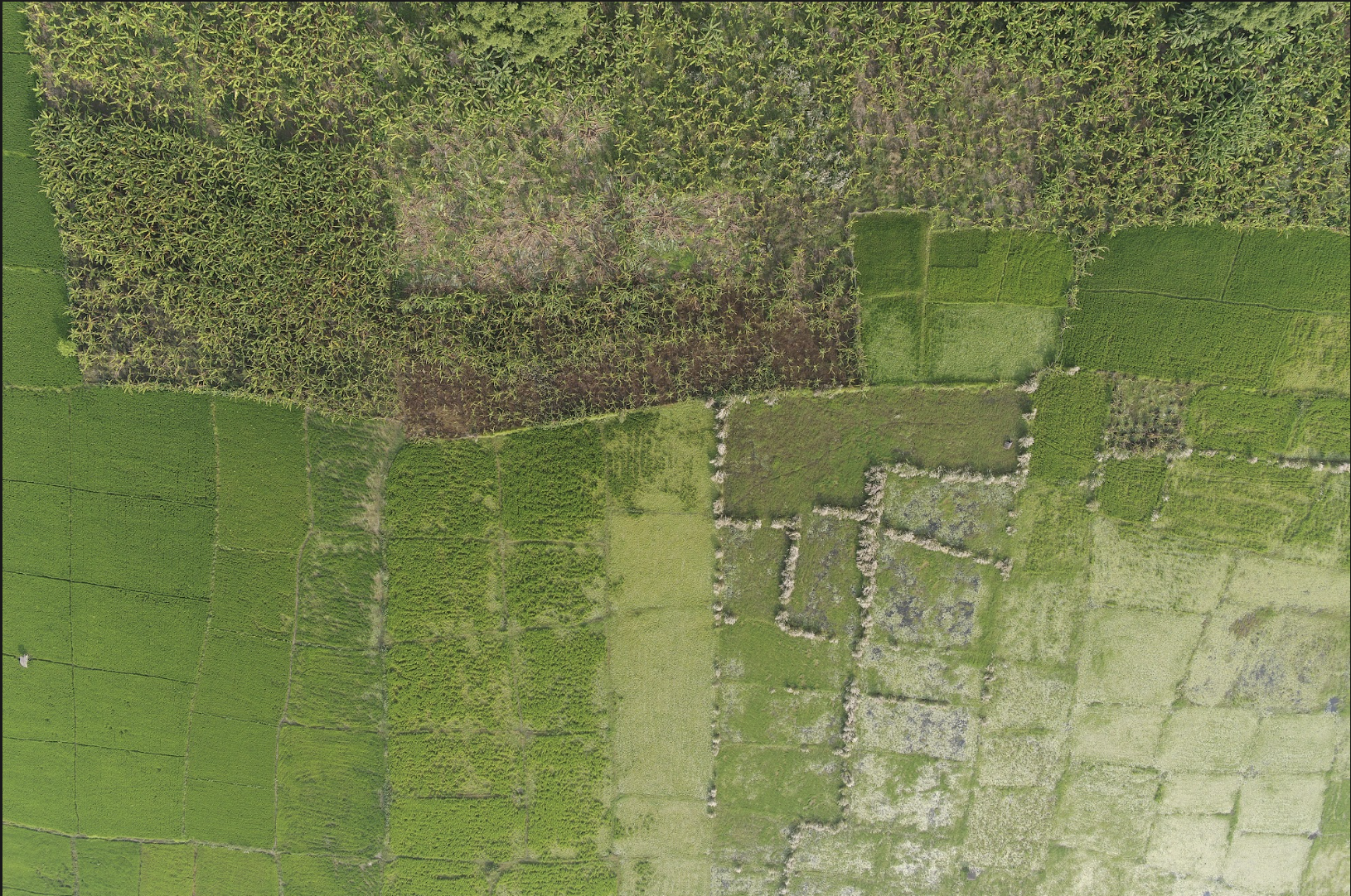
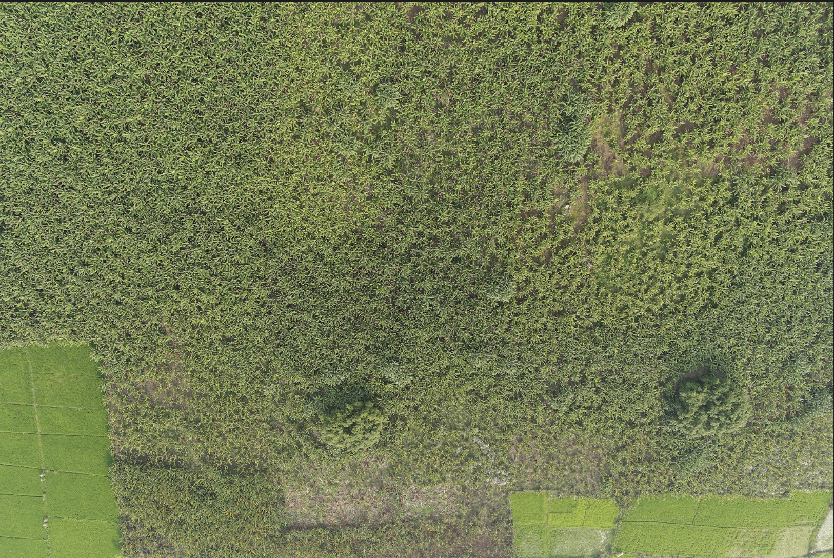
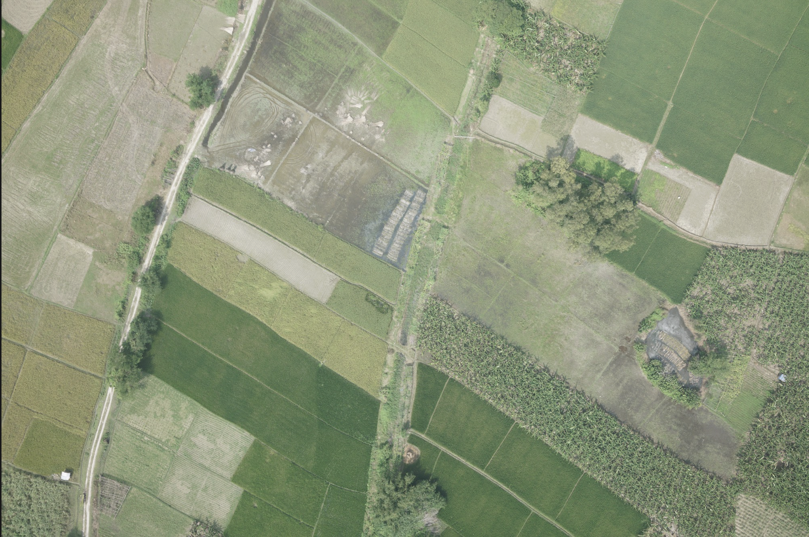
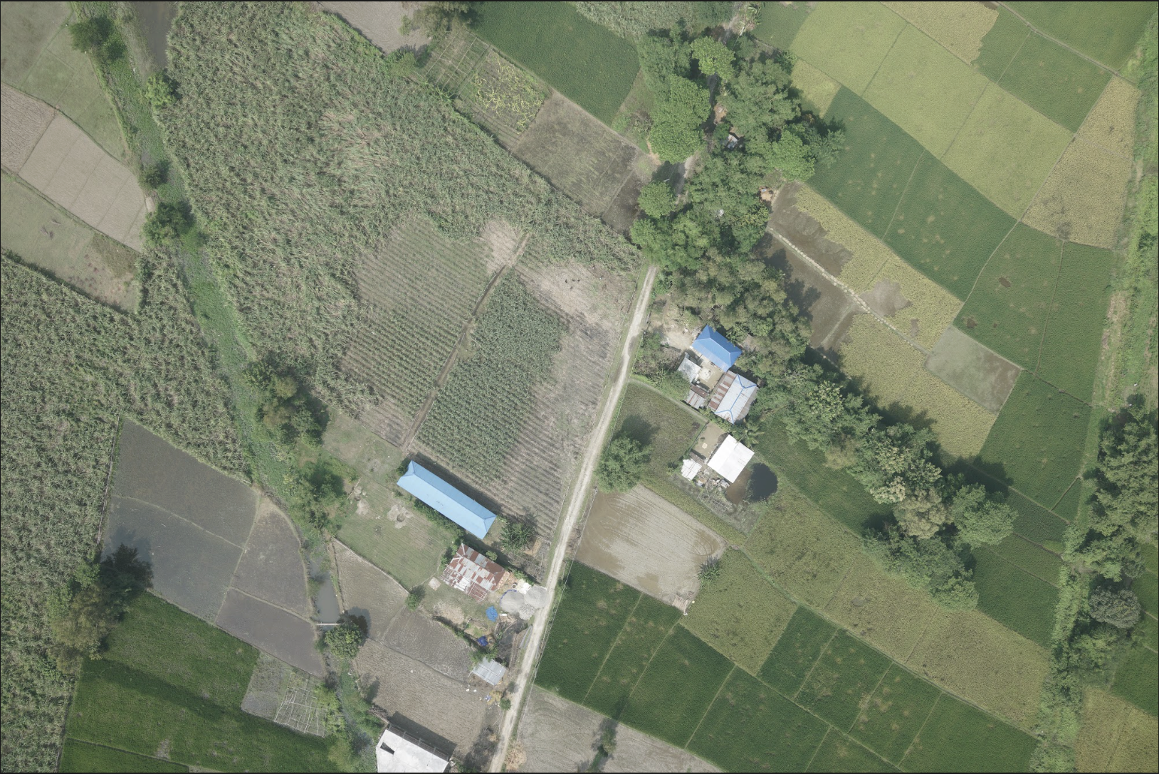
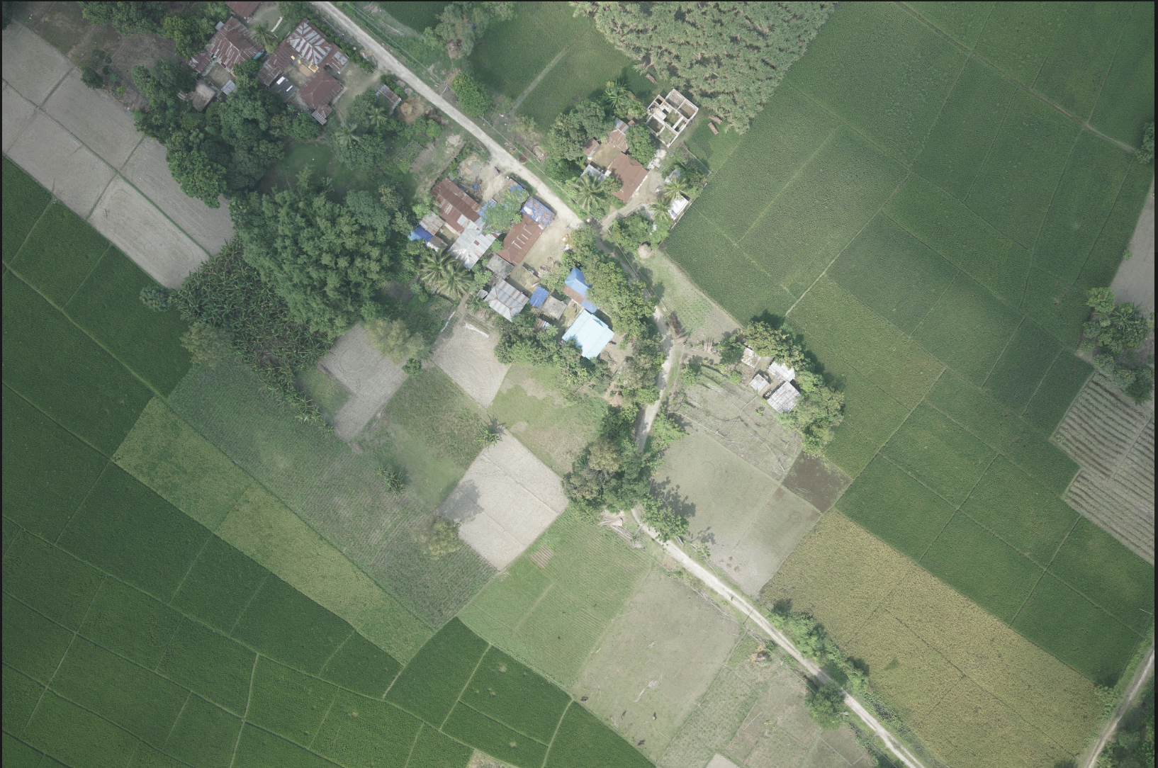
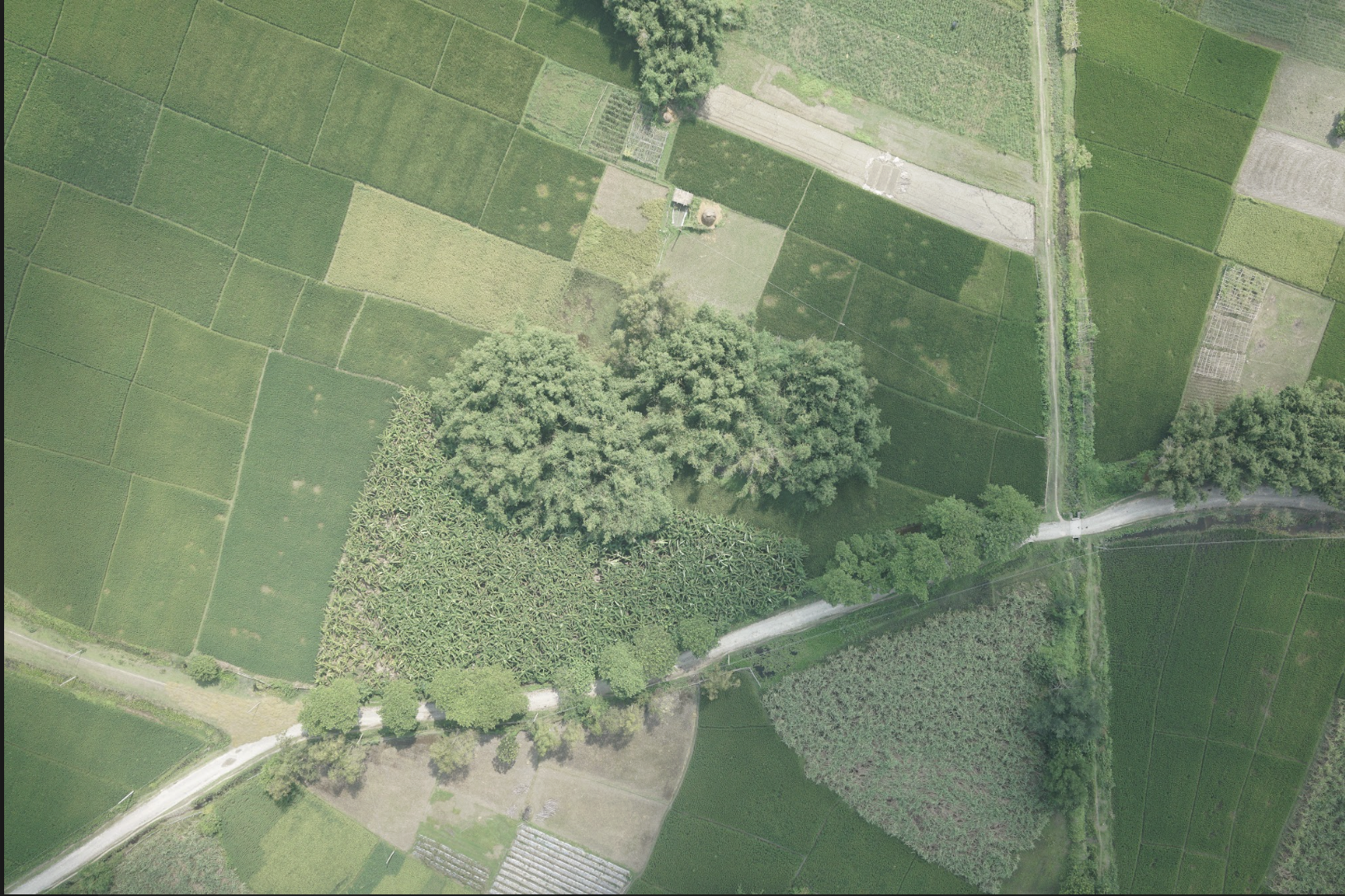
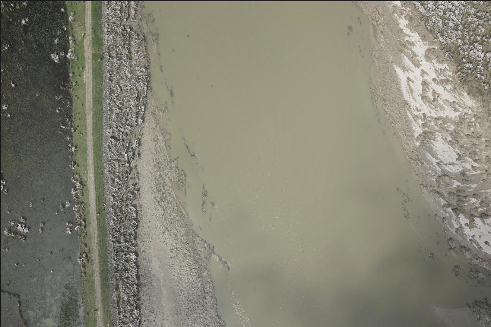
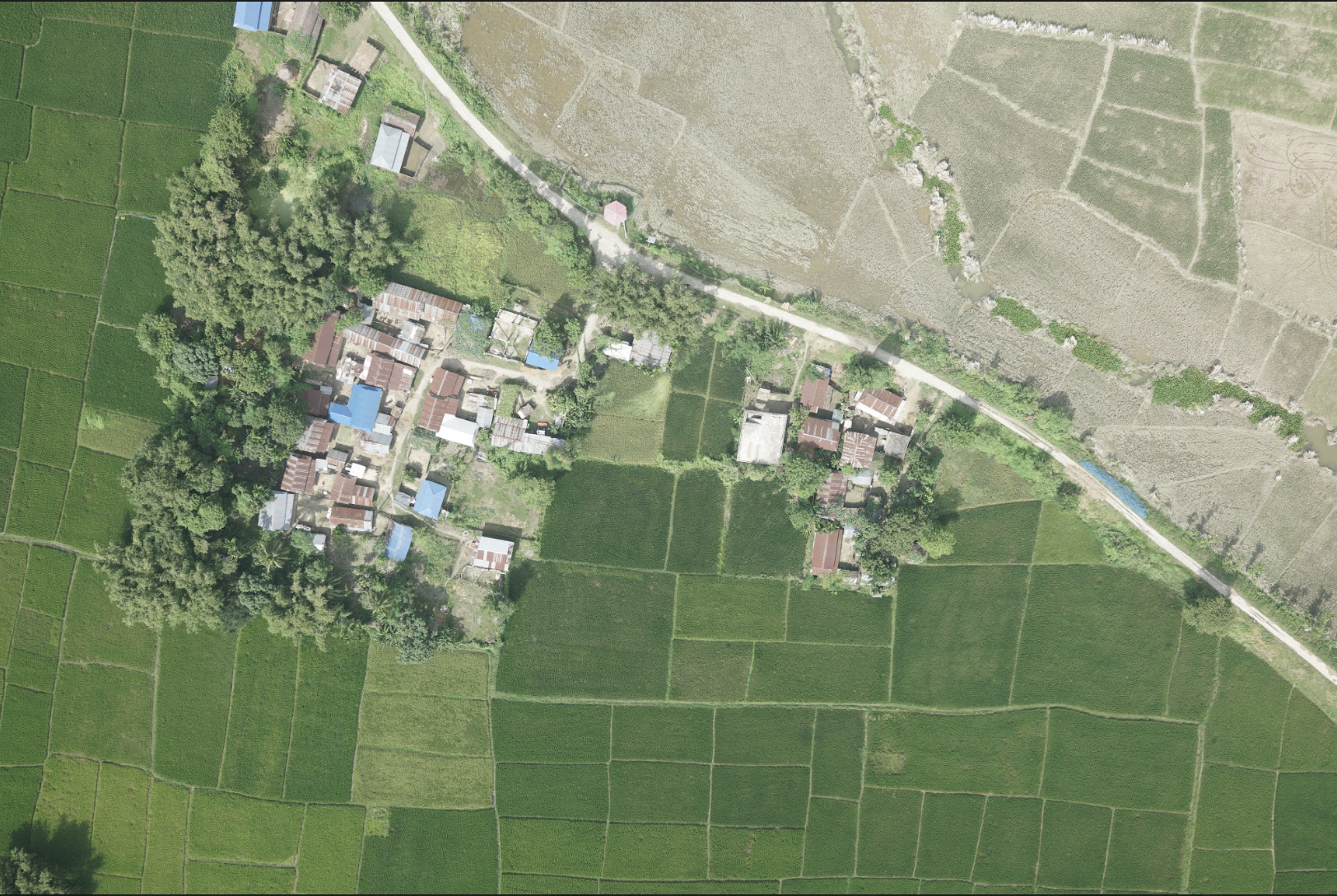
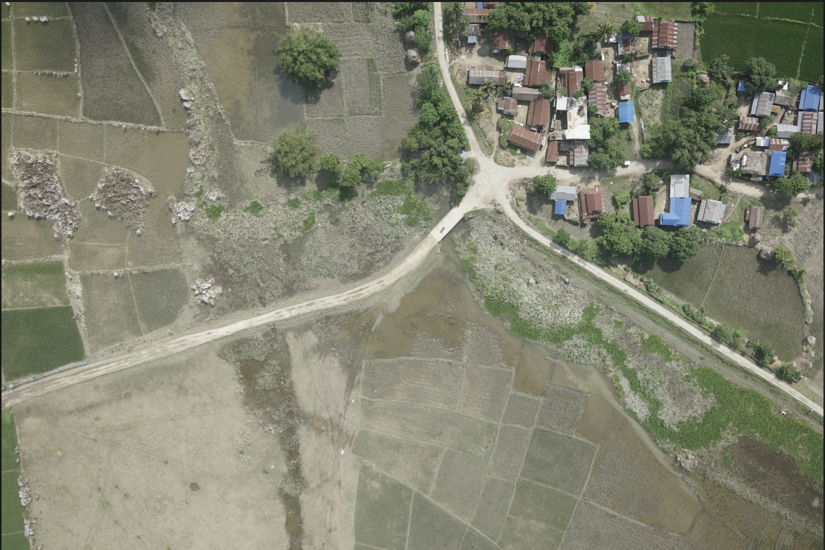
This output represents the foundational data acquisition phase of our agricultural disaster assessment system. Using unmanned aerial vehicles (UAVs), we have successfully captured high-resolution orthophoto imagery and generated precise Digital Surface Models (DSMs) of affected agricultural areas.
The orthophotos provide georeferenced, geometrically corrected aerial imagery that serves as the base layer for all subsequent analysis. The DSMs offer detailed elevation data crucial for understanding terrain characteristics, water flow patterns, and infrastructure impacts.
Data Collection Metrics
Technical Implementation
UAV Platform & Sensors
We deployed a fleet of professional-grade UAVs equipped with high-resolution RGB cameras and LiDAR sensors. The multi-sensor approach ensures comprehensive data capture under varying environmental conditions.
| Specification | Value | Purpose |
|---|---|---|
| Flight Altitude | 120m AGL | Optimal resolution vs coverage balance |
| Overlap | 80% forward, 70% side | Ensure complete coverage and accuracy |
| Image Resolution | 20MP RGB | High-detail analysis capability |
| LiDAR Density | 15 points/m² | Accurate elevation modeling |
Data Processing Workflow
Raw imagery and sensor data underwent rigorous processing using photogrammetric software and custom algorithms. The workflow includes:
- Image quality assessment and filtering
- Ground control point integration
- Bundle adjustment and dense point cloud generation
- Orthomosaic production with radiometric balancing
- DSM generation and quality validation
Deliverables & Quality Metrics
All deliverables meet or exceed international standards for accuracy and resolution, ensuring reliable foundation data for downstream processing and analysis.
Key Outputs
- Orthophoto Mosaics: Seamless, geometrically corrected imagery at 3.2cm ground sampling distance
- Digital Surface Models: High-precision elevation data with sub-decimeter vertical accuracy
- Point Clouds: Dense 3D representations for detailed terrain analysis
- Metadata & Reports: Comprehensive documentation of collection parameters and quality metrics