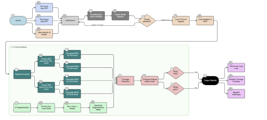
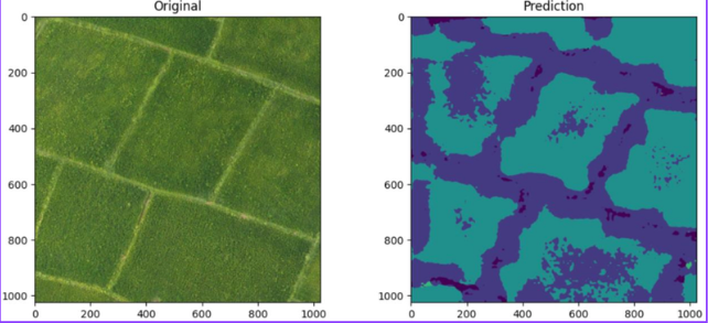
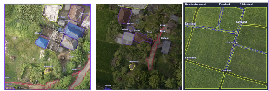
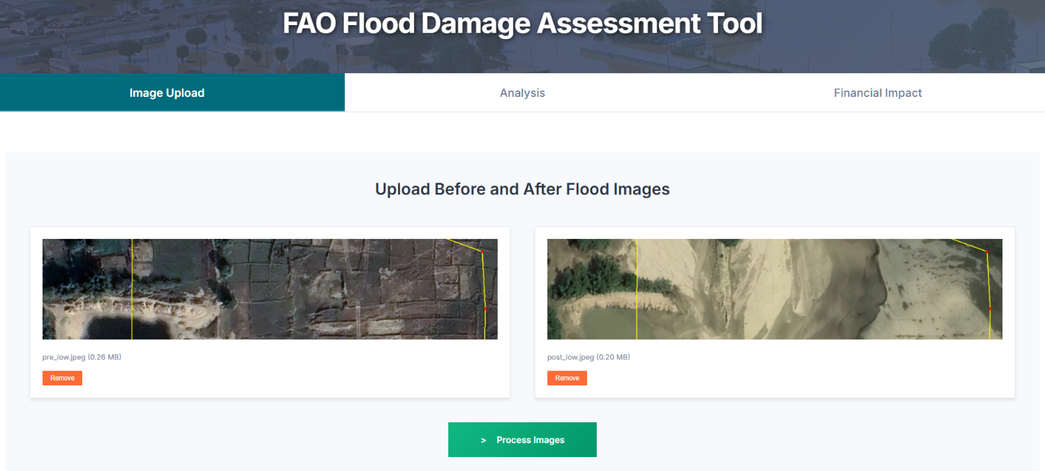
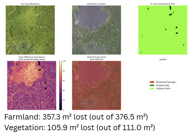
AI-Driven System for Post-Disaster Agricultural Damage Assessment
Enhancing Disaster Resilience in Nepal's Agriculture Sector through Integrated Satellite, UAV, and AI Technologies
A collaboration between FAO and NAAMII to build national capacity for disaster assessment and response.
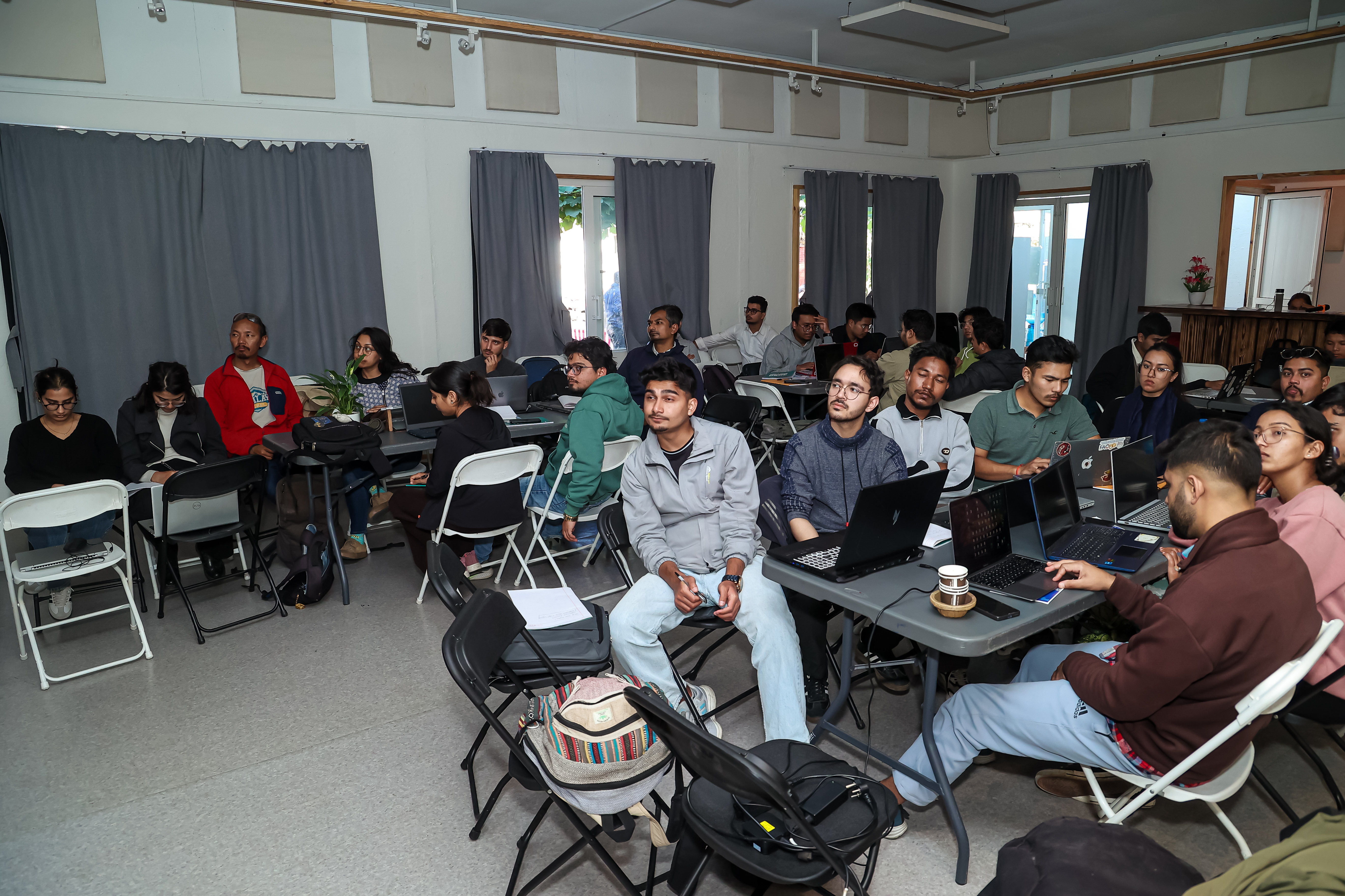
National Level Field Training
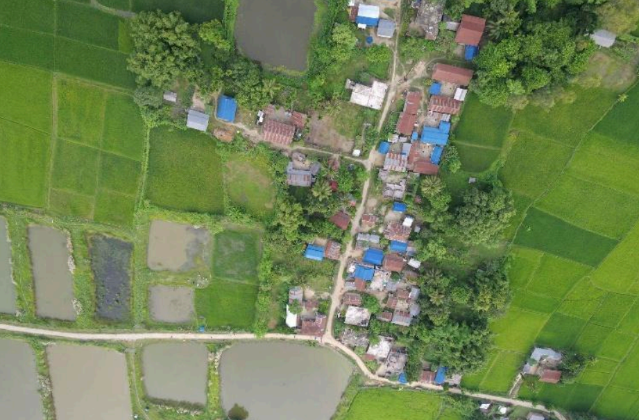
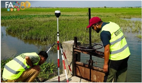
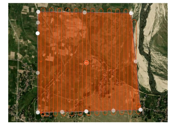
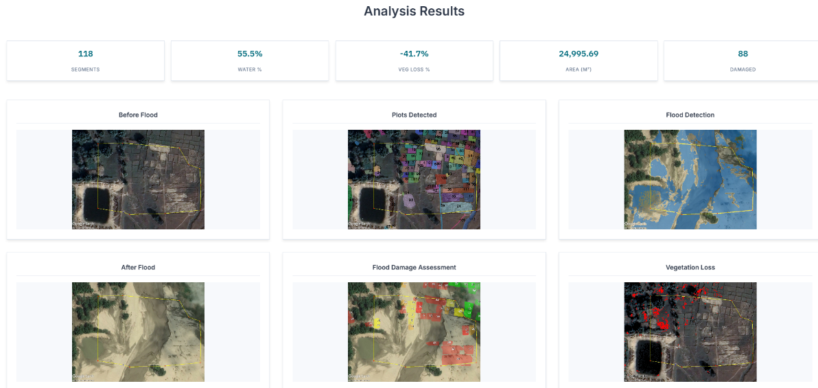
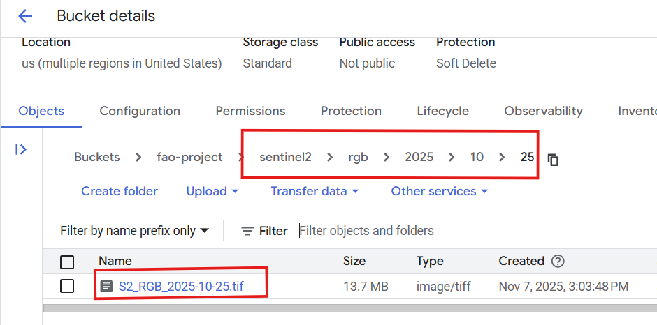
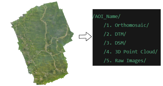
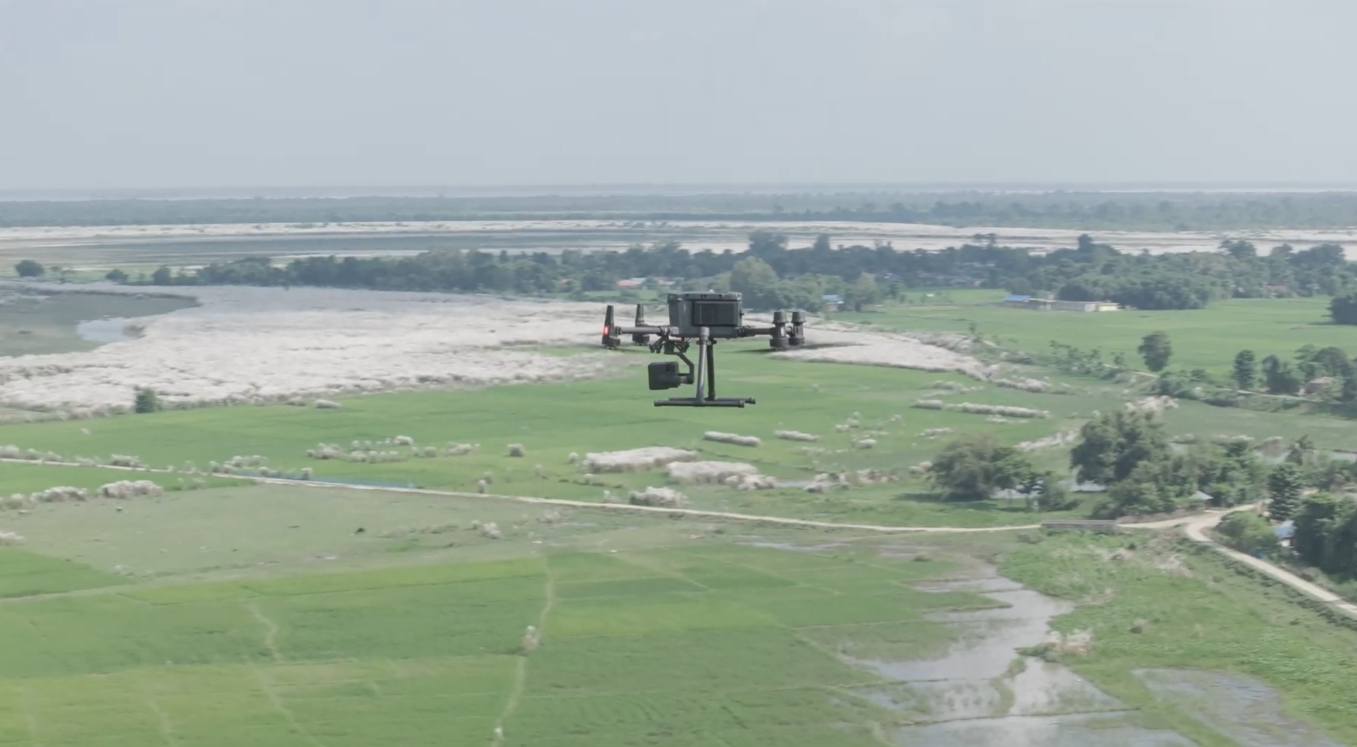
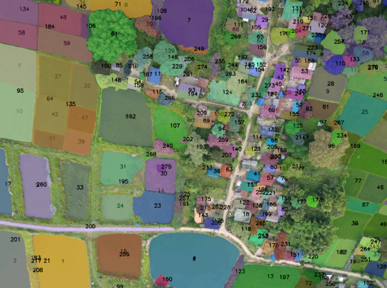
Comprehensive 2-day training program focused on building national and local capacity for UAV operations, AI/ML model development, and post-disaster crop damage mapping. This hands-on training transfers technical knowledge and operational skills to government and academic institutions.
Target Participants (~40 people)
Training Schedule


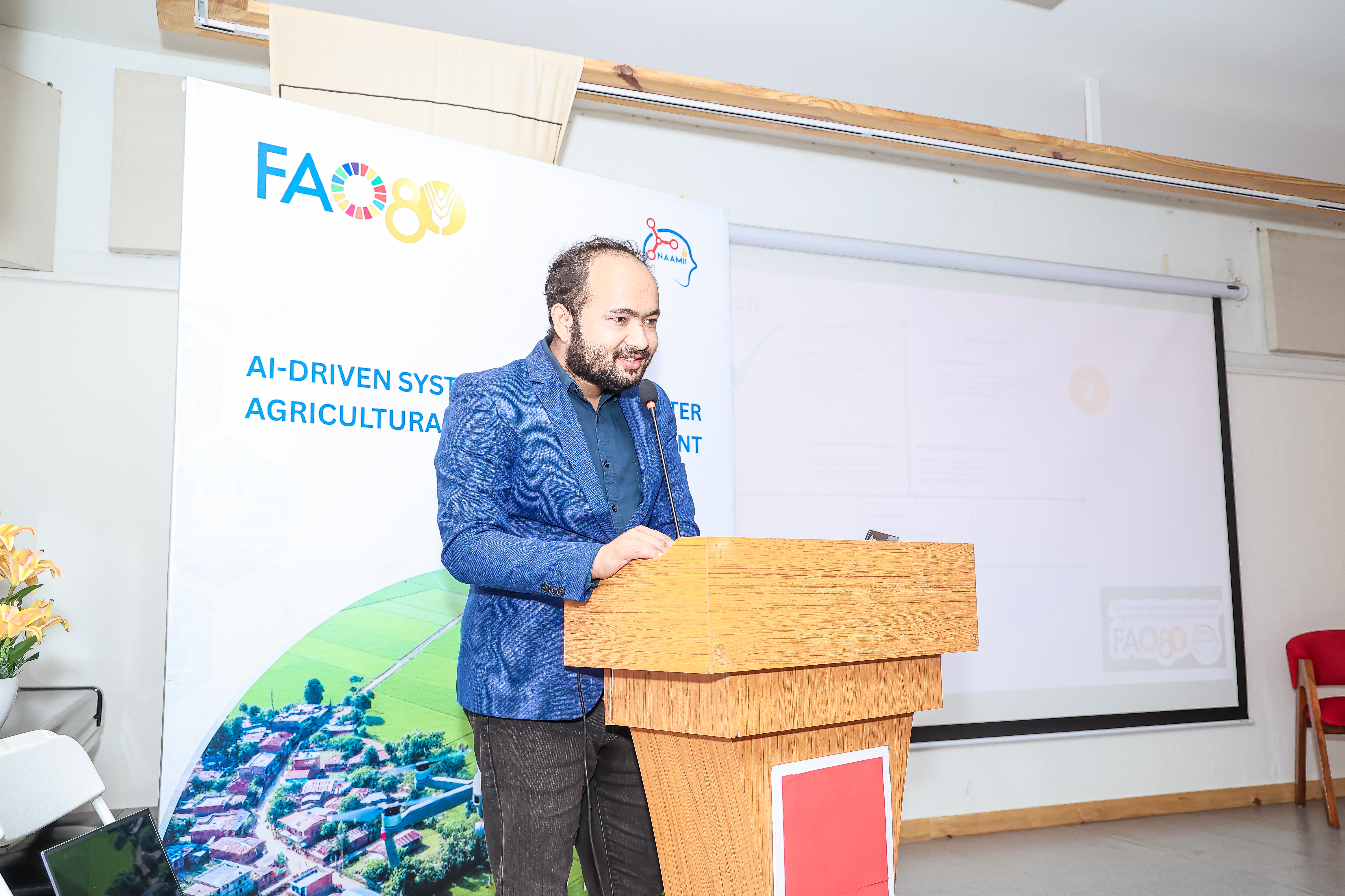

National Co-design Workshop
Stakeholder engagement workshop to present the AI-driven system, demonstrate capabilities, and gather feedback for scale-up planning. The workshop brings together government agencies, donors, and technical partners to co-design the future of disaster-resilient agriculture in Nepal.
Workshop Agenda
Participating Organizations
Government agencies, research institutions, and development partners who participated in the training and workshop
Invitees


Attendees
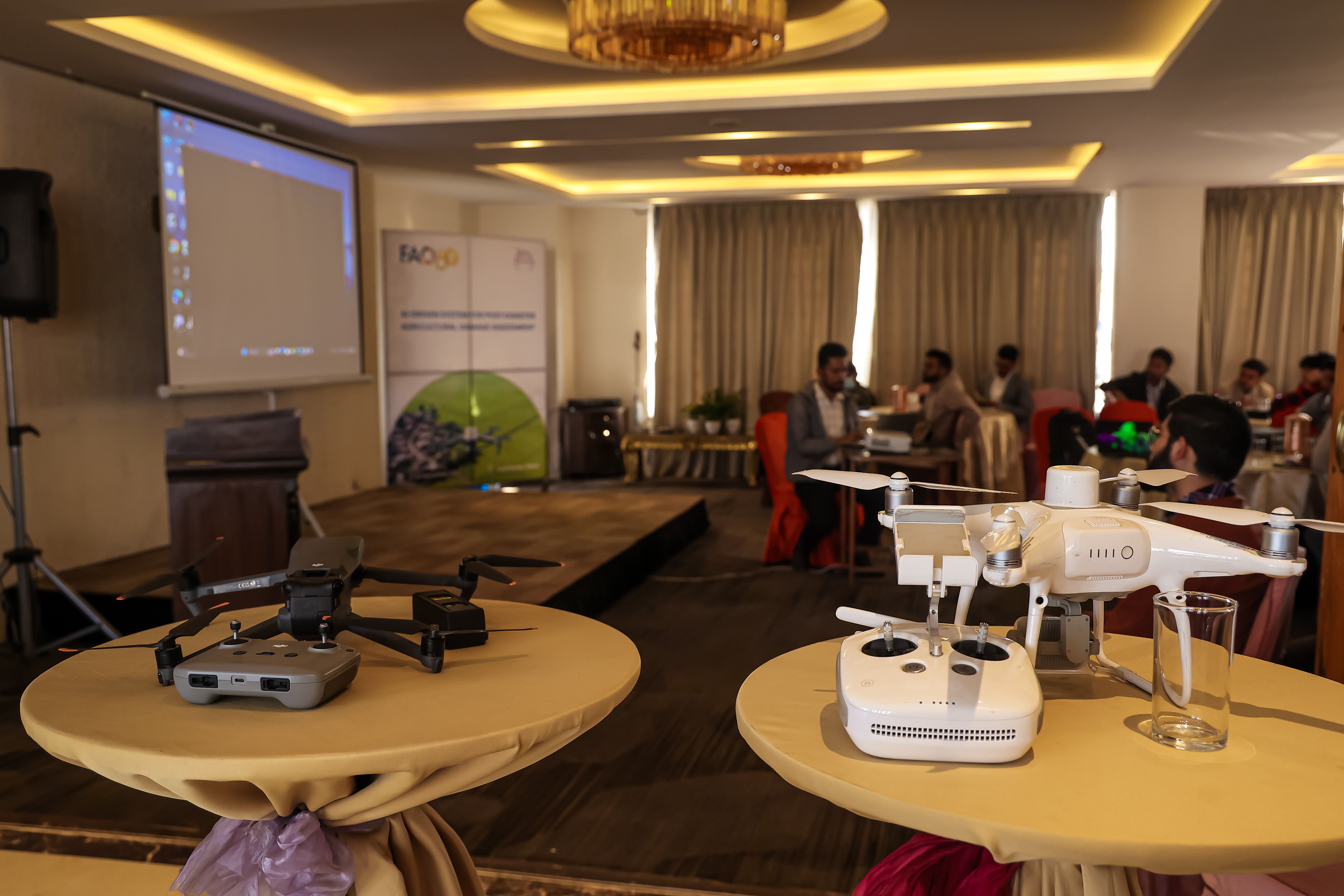
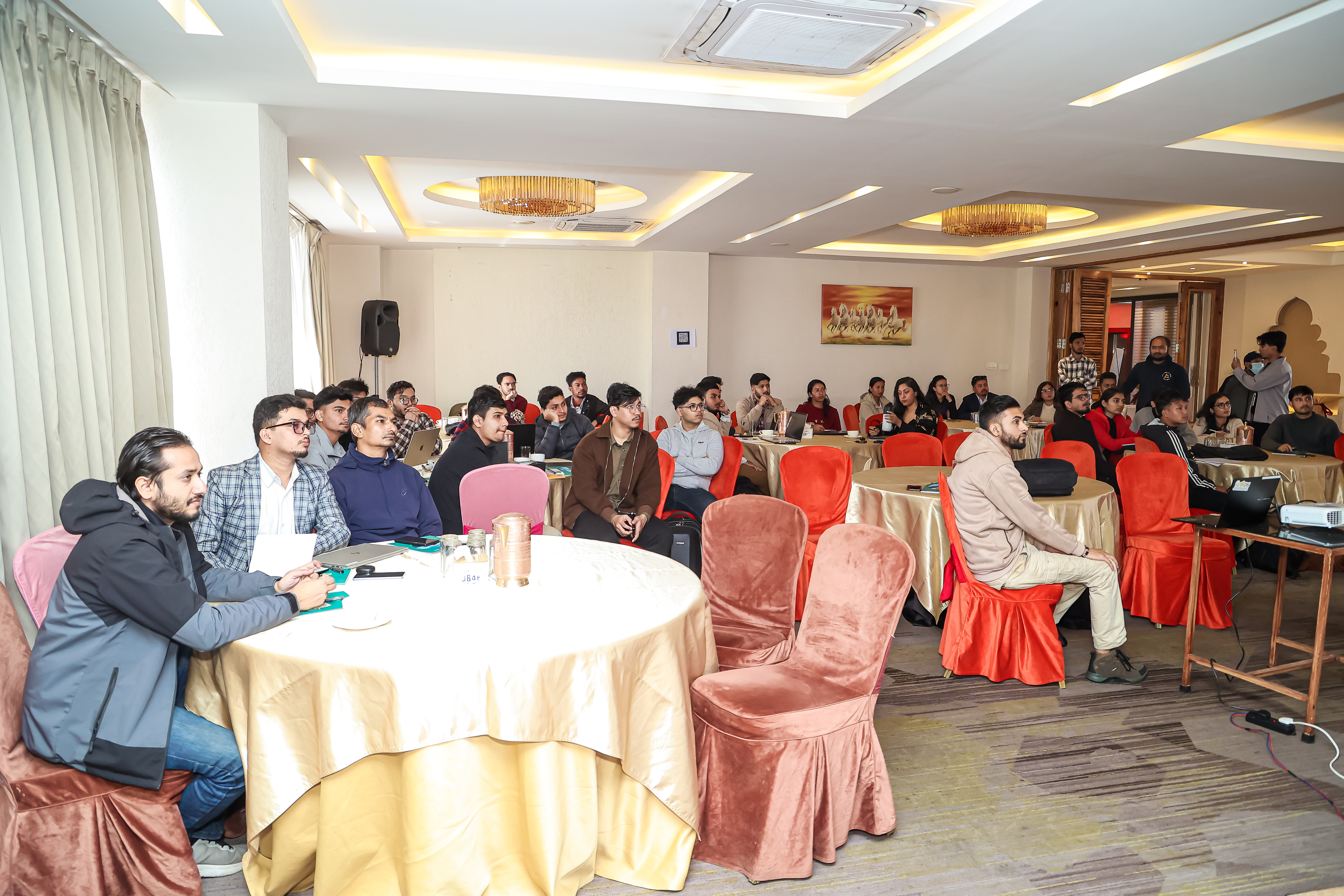
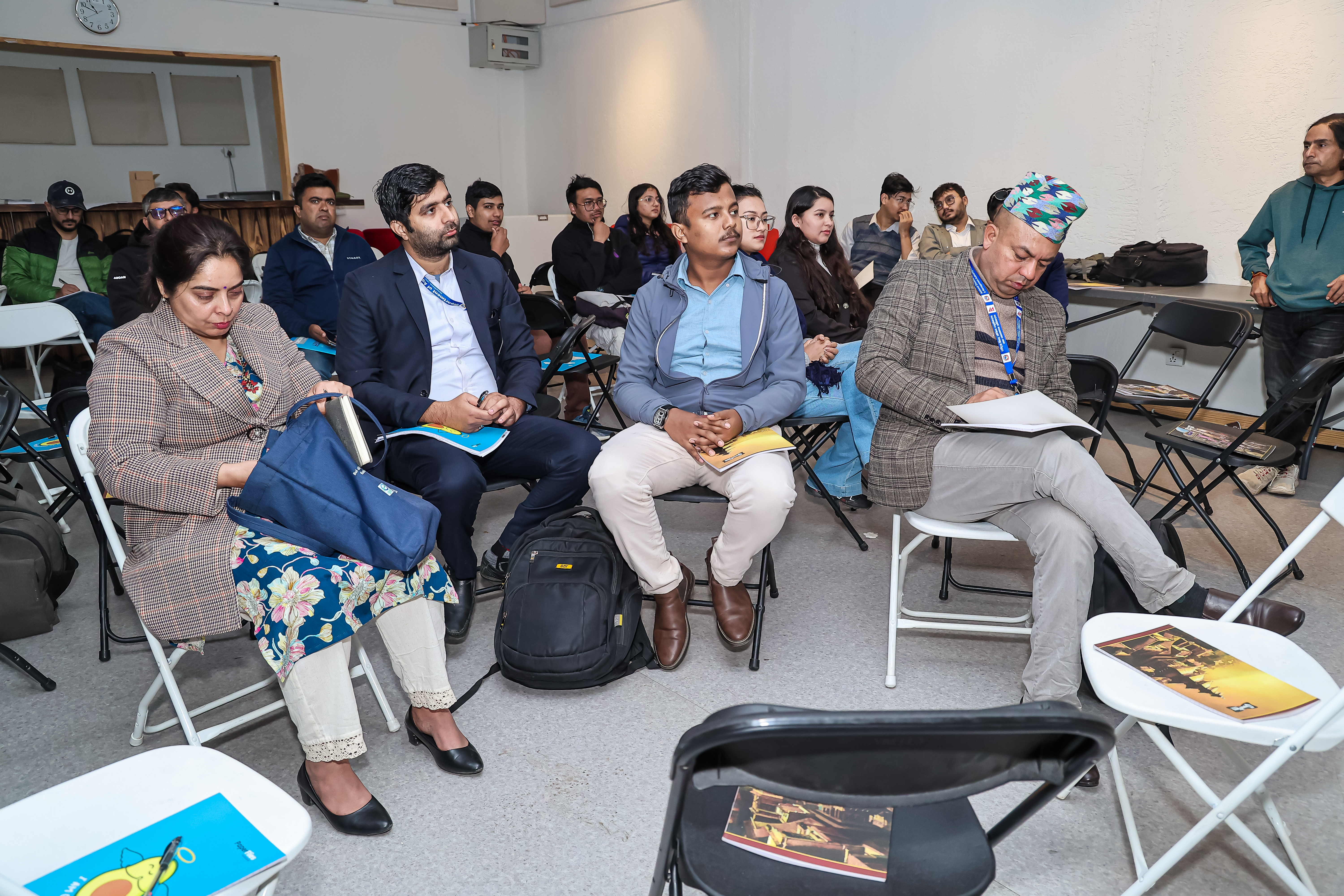
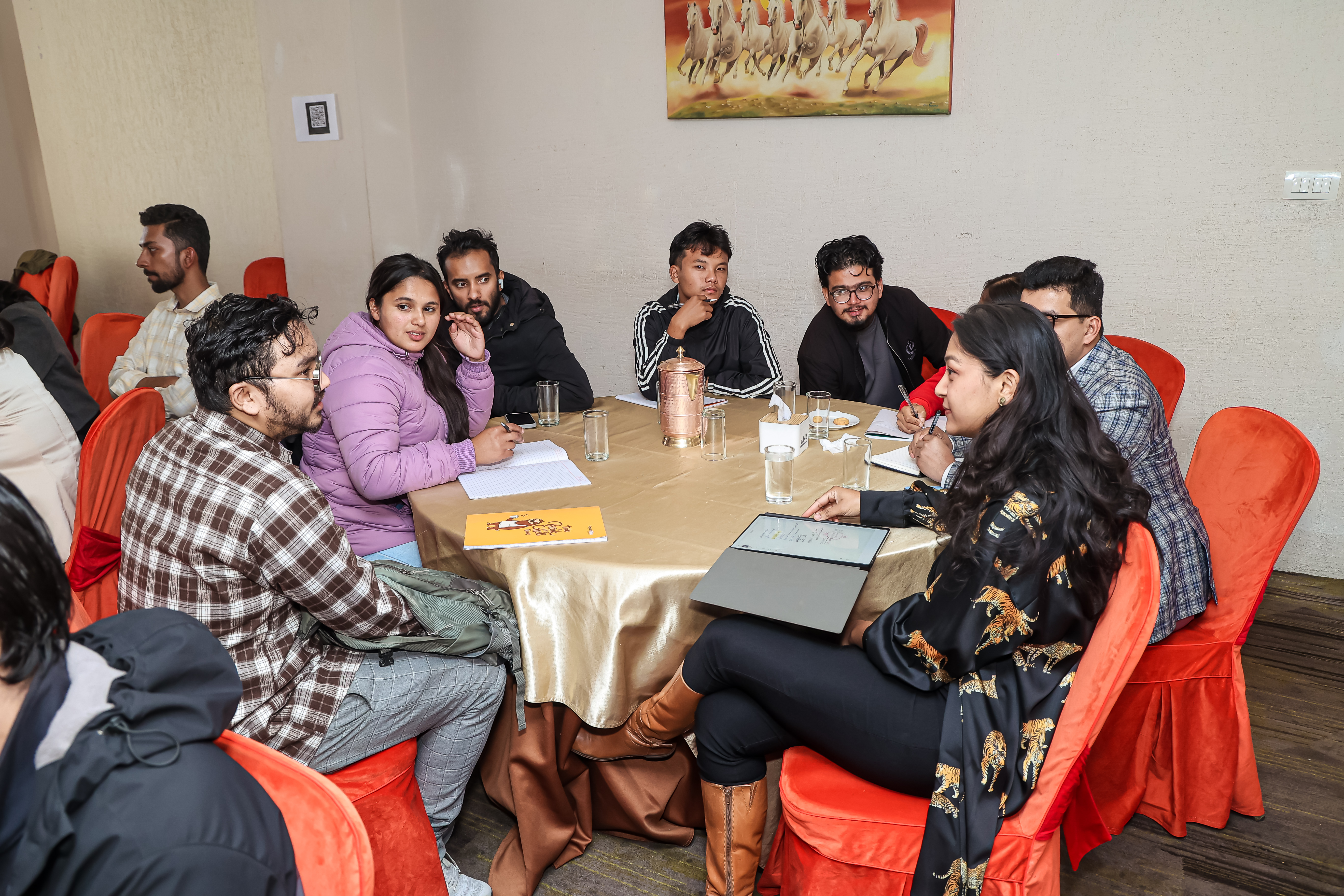
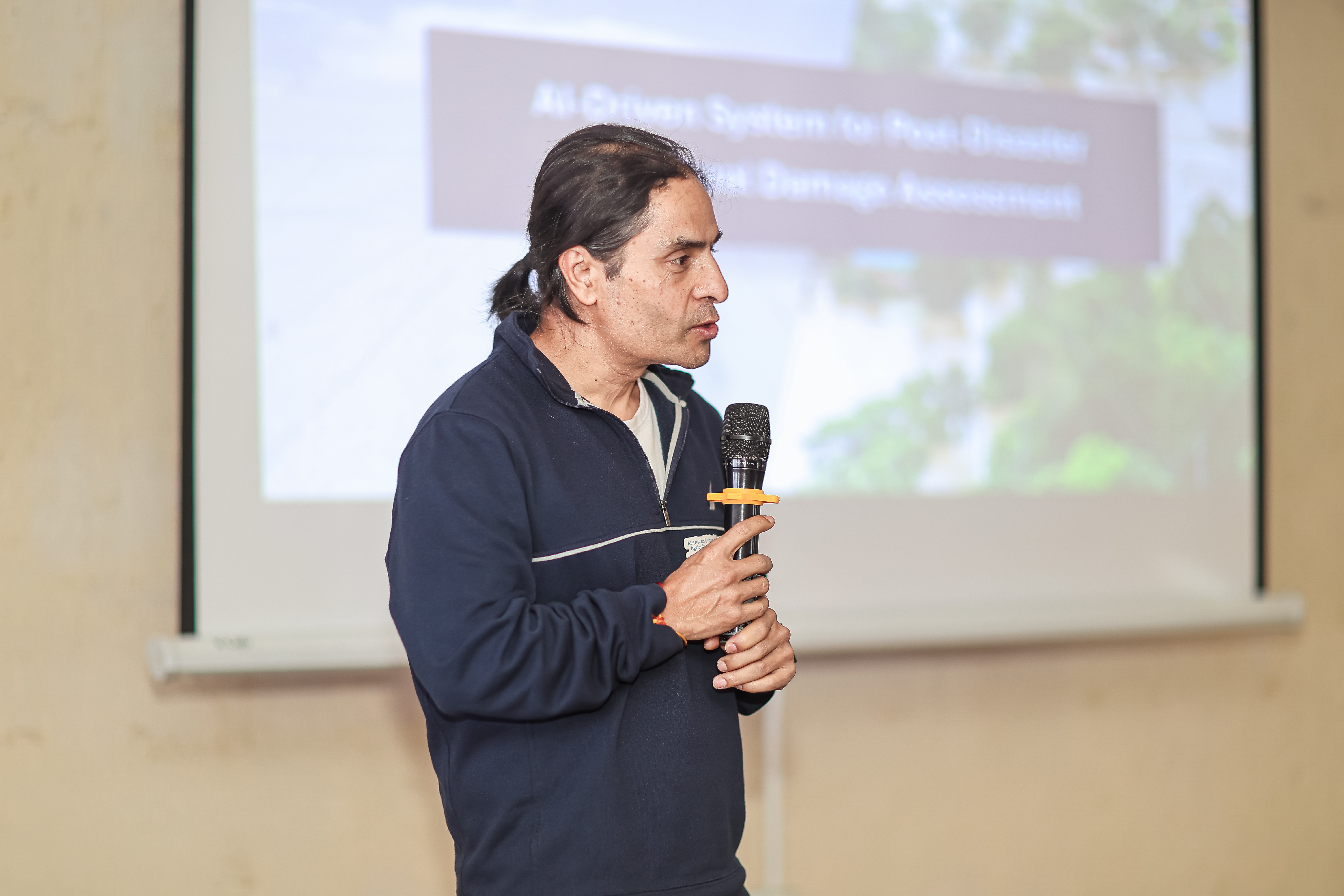
Training & Workshop Gallery
Visual highlights from our capacity building initiatives and stakeholder engagement activities
Expected Outcomes
- Enhanced national and local capacity in UAV, AI/ML, and data-driven crop damage assessment
- Operational prototype platform integrating drone, satellite, and field data for decision support
- Strengthened collaboration among government, FAO, NGOs, and academic partners for disaster-resilient agriculture
- Increased awareness and adoption of AI-based tools for post-disaster assessment and planning
- Sustainable local capacity through train-the-trainer approach and knowledge transfer
- Enhanced preparedness and recovery efforts in flood-affected and high-risk agricultural regions